
Search Pecan Grove Street Directory
Start with a full Pecan Grove address, but preserve each part of the result rather than treating it as one answer. The appraisal account identifies the parcel and the owner of record. The map checks the parcel against its road, subdivision, ZIP, city or ETJ status, and MUD setting. A deed supplies a dated transfer trail. Voter information is a separate and limited route. A historical directory can offer an older occupant lead, but it does not prove title. Pecan Grove is an unincorporated Fort Bend County community, so these routes lead to county and regional custodians instead of a Pecan Grove city office.
Write down the street suffix, street number, subdivision, lot or block, and each parcel identifier before changing tools. That small record log prevents a nearby parcel or a Richmond mailing label from being carried into the wrong result. It also makes an older search more reliable when a deed uses a legal description instead of a modern street address.
- Enter the address in FBCAD and save the situs, owner name, mailing address, legal description, account identifiers, subdivision, and tax year.
- Locate the parcel in the Fort Bend map, then compare parcel, subdivision, ZIP, city or ETJ, MUD, and plat layers.
- Use the Texas voter route only for lawful status research or a properly requested public record. It is not a street-by-street household list.
- Search the current owner as grantee in Official Public Records, capture the instrument number and legal description, then follow the prior grantor backward.
- Ask George Memorial Library for relevant Rosenberg-Richmond, reverse, criss-cross, or telephone volumes when the question becomes historical occupancy.
Pecan Grove Parcel Records
Fort Bend Central Appraisal District Property Search is the practical first stop for an address-keyed Pecan Grove search. Its public form supports owner, owner or address or ID routes. For a whole street, try Street Name without the number if an exact entry fails, then narrow the result with a subdivision, neighborhood, property type, or tax year where useful. FBCAD specifically advises a simpler street-name search when a precise address misses. The form does not promise a dedicated street-browse button, so the broad result list is the working street view.
| FBCAD field | Use in a street search | Format or limit |
|---|---|---|
| Owner Name | Find a parcel tied to a known owner | First or last name alone can help |
| Street Number | Refine an address result | Optional text or number |
| Street Name | Build a broad street result | Use alone when an exact address fails |
| Subdivision / Neighborhood | Separate similar street names | Dynamic search lists |
| Quick Ref ID / Geographic ID | Carry a parcel identifier between records | Exact identifier fields |
| Property Type / Tax Year | Constrain a broad result | Optional selector fields |
The resulting account can show owner name, owner mailing address, situs or property location, legal description, value, taxing units, and account or geographic identifiers. The mailing address is where appraisal notices go. The situs is the physical Pecan Grove property. Neither one proves every person associated with a home, and the appraisal card is not a complete title history.
- Parcel
- A mapped unit of land associated with an appraisal account. Its geometry helps distinguish one tract from another.
- Situs address
- The physical property location used for the Pecan Grove street search, distinct from an owner mailing address.
- Plat
- A recorded map that lays out a subdivision, lot, block, easement, or right of way. It can bridge a street address to a legal description.
- Criss-cross directory
- An address-arranged directory that can point from a street number to an occupant or subscriber when a volume exists.
View the FBCAD property-search interface before using its fields as a Pecan Grove address-record reference.
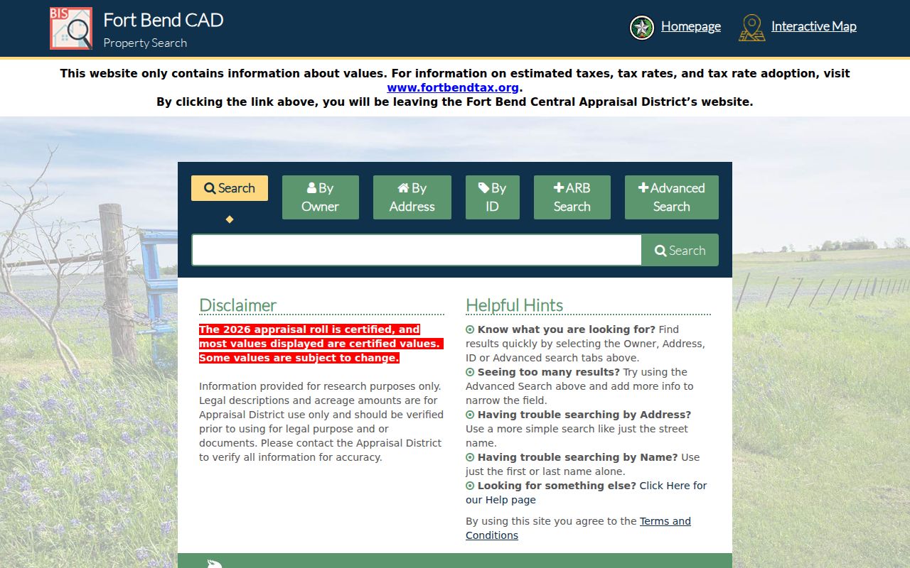
The capture illustrates why owner, street, subdivision, and identifier searches should be kept as separate paths when a street result is incomplete.
Map Pecan Grove Street Parcels
The Fort Bend County Interactive Public Mapping Site puts the address in context after FBCAD identifies the parcel. Use the map search, select the feature, and turn on parcels, subdivisions, ZIP Codes, city limits, ETJs, MUDs, floodplain, roads, plats, and election layers as needed. The map is especially valuable around Pecan Grove because a Richmond postal label does not establish Richmond city limits. An address-point record can carry POSTAL_CITY and ZIP_CODE alongside an ADD_CITY classification such as city, ETJ, or unincorporated.
Clicking nearby polygons is a check on geography, not a shortcut to ownership. The county says comprehensive ownership information belongs with the County Clerk and FBCAD. Compare the parcel edge, road centerline, plat boundary, and address point before treating an adjacent shape as part of the same street segment. A drainage tract, levee, common area, or right of way may sit between two homes.
Note: Save the map layer date with the parcel record because county map layers and appraisal data can change independently.
Pecan Grove Voter Record Limits
The Texas My Voter Portal is designed chiefly for an individual status check. Its documented routes pair date of birth with a Texas driver license or ID, a name plus county, or a VUID. Selecting Fort Bend can help a voter confirm registration, precinct, and polling-place details, but the portal is not a public map of everyone on a Pecan Grove street. Texas does not register voters by party, and protected information is withheld.
A broader voter-registration data request follows a different path. The county registrar or Secretary of State receives the prescribed public-information form, a specific record description, and any required cost authorization. Fort Bend Elections is the local custodian. The request route has fees and use restrictions, and it still omits protected addresses and identifiers. Treat a voter result as registration evidence only, not proof that every person at a home is named.
Texas law protects qualifying voters and confidential address-program participants. A blank result may be intentional, so no address search should be used to bypass a withheld record.
Follow Pecan Grove Recorded Deeds
Fort Bend County Clerk Official Public Records is the deed route once the FBCAD card supplies an owner and legal description. The online search offers Party Name, Grantor, Grantee, Date Filed, Instrument Number, and Document Type. The County Clerk instructions use the name order LASTNAME FIRSTNAME. Begin with the current owner as grantee, inspect the likely purchase deed, record the grantor and instrument number, then search that grantor as a prior grantee. Use the lot, block, subdivision, or other legal description to distinguish a same-name result.
The County describes its permanent online library as reaching from 1821 to the present, while the Records Division describes coverage from 1838 to the present. Those statements should not be collapsed into one unsupported cutoff. Verify the series and image for the particular instrument. A browser-viewed image is an unofficial, watermarked print. Clean or certified copies have separate ordering routes, including online purchase, the Richmond counter, mail, phone or email questions, and a written Texas Public Information Act request for a specific unavailable county record.
See the County Clerk recording information that accompanies the Pecan Grove deed route.
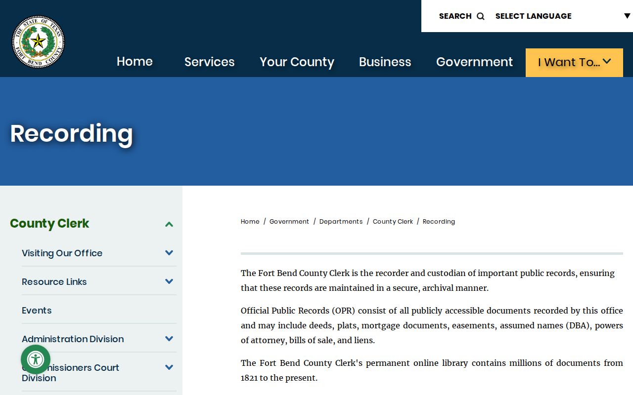
A recorded instrument adds a date and parties to the parcel trail, while the legal description keeps the search tied to the right land.
Check Pecan Grove Address History
For an older address, George Memorial Library in Richmond is the local-history fallback after the parcel and deed trail. Its Genealogy and Local History Department has non-circulating Fort Bend materials, microfilm readers and printers, census resources, obituary resources, and a burial-records database. Ask the staff for Rosenberg-Richmond directories, reverse directories, criss-cross directories, telephone books, and suburban volumes by address. No continuous Pecan Grove-specific reverse-directory run was verified, so the request should be framed as a search for available volumes rather than a promise of annual coverage.
The Texas State Library lists combined Rosenberg-Richmond directories for 1962, 1982, and 1986. The 1962 volume predates Pecan Grove development, which began in the 1970s, and is regional context rather than a Pecan Grove household list. The later two volumes are sensible tests, but an omitted name does not establish vacancy or absence. Publication timing, spelling, telephone subscription, and coverage boundaries all matter. The historical collections themselves are described on the Pecan Grove city directory page.
Compare Pecan Grove Street Directory Records
Each address-keyed source answers a narrower question. Keep a three-part log for location evidence, person evidence, and time evidence. A parcel, plat, ZIP, or ETJ layer establishes place. A grantor, grantee, voter status, or directory entry identifies a person in a particular role. A recording, tax, directory, census, or permit date establishes when the evidence was made. That separation is the best defense against carrying a modern owner into an earlier period or assigning a nearby parcel to the wrong Pecan Grove street.
| Address-keyed source | Best key | What it can support | Access route |
|---|---|---|---|
| FBCAD property account | Street, owner, Quick Ref ID, Geographic ID | Current owner, situs, legal description, mailing address | Free public search |
| Fort Bend GIS | Address or parcel selection | Parcel geometry, subdivisions, ZIP, ETJ, MUD, layers | Free interactive map |
| County Clerk OPR | Party, grantor, grantee, date, instrument, type | Transfers, plats, liens, easements, legal descriptions | Online index, counter, mail, or request |
| Voter sources | Individual identity route or formal request | Registration and precinct evidence, subject to protection | Portal or custodian request |
| Engineering and Fire Marshal files | Address, date range, record class | Address work, development, inspections, or plans when released | Application route or written request |
| POA covenant search | Section, block, lot, street number or name | Covenant and subdivision context | Public search, not a member roll |
A Pecan Grove POA section, block, or lot clue can bridge an address to a plat search, but it should be checked against the official county record. Tax accounts likewise answer tax questions separately from the FBCAD appraisal card and the recorded deed.
Use Pecan Grove Permit Records
Fort Bend Engineering manages development permits for unincorporated areas, including new buildings, modifications, regrading, drainage, wells, septic work, floodplain work, driveways, address changes, and address verification. The development-permit route uses MyGovernmentOnline for applications. Its accessible public materials do not document a public historical result search with address filters, so an application screen should not be presented as a complete permit index.
For older files, submit a focused request with the street address, subdivision or lot, date range, permit category, and any known owner or developer. Ask for a fee estimate, any redaction basis, or a written no-record response. Fire Marshal permit, inspection, and plan-review records have a separate route and moved toward online software in April 2026, but the public result fields were not exposed in the research. Permit applicants or contractors are associated evidence, not automatic proof of residence.
Review the county unincorporated-area permit information before making a Pecan Grove permit-records request.
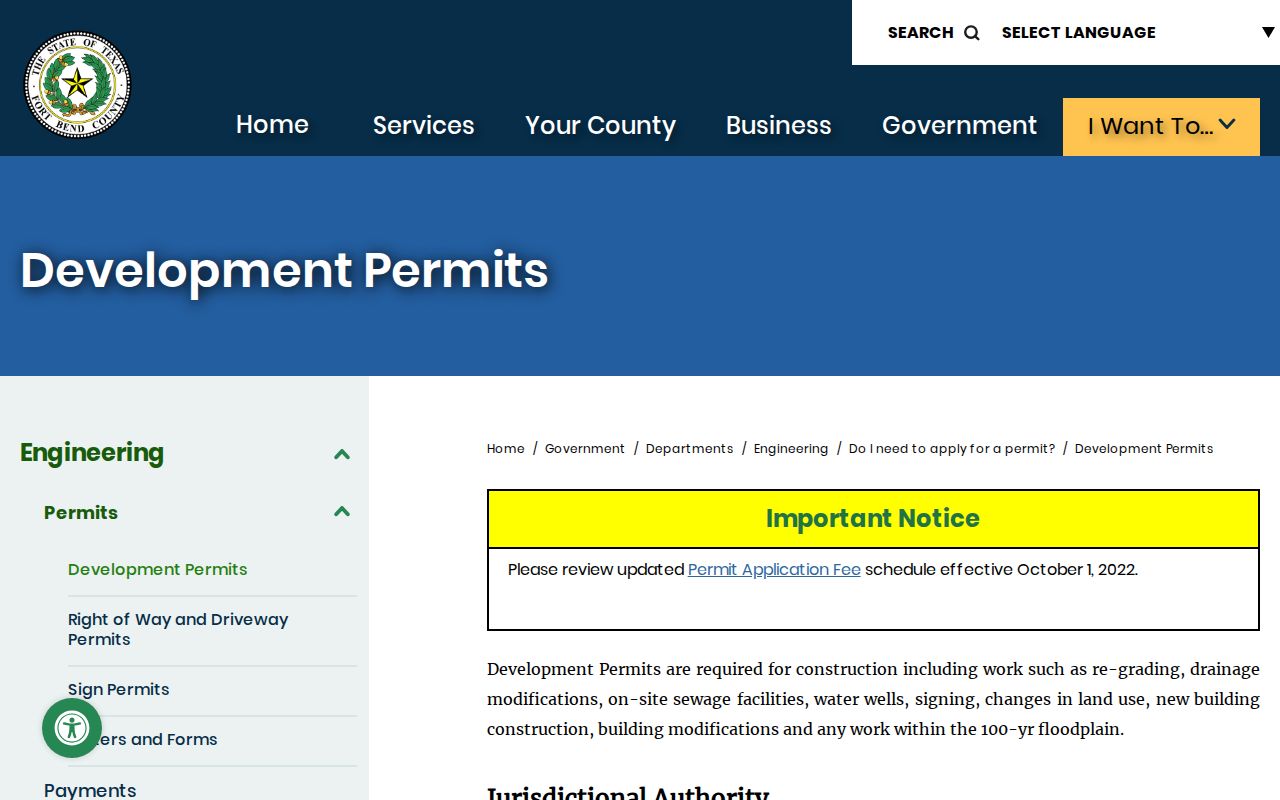
The permit route can date a change to a property when a released record identifies the address and record type, but it cannot supply a complete household list.
Read Pecan Grove Street Geography
A Pecan Grove address search needs both delivery and jurisdiction geography. County GIS places ZIP, city-limit, ETJ, subdivision, parcel, MUD, flood, and precinct layers side by side. That comparison is useful when the same property carries a Richmond mailing label while remaining unincorporated. Pecan Grove has no city hall or municipal record office of its own. Use the GIS classification and parcel layer before routing a request to a nearby city.
Older address work needs one more check. On July 1, 2008, USPS moved Richmond deliveries from historic 77469 into 77406 and a new 77407 delivery area. Historical deed, directory, tax, or newspaper references may therefore use 77469 where a current address lookup returns 77406 or 77407. The Census associates Pecan Grove with 77406 and 77407, but a particular delivery address still needs USPS verification. Do not read a ZIP as a city-limit boundary.
Respect Pecan Grove Address Limits
A street record can identify a titled owner, a parcel, a recorded transfer, or a person who appears in a dated public source. It cannot safely become a list of everyone at a home. Appraisal records do not identify every occupant. Recorded ownership and owner mailing address are not the same as current presence. Utility customer records, driver-license data, delivery records, private association membership, and protected voter addresses are not an open household source.
Texas address-confidentiality and voter-confidentiality rules intentionally remove or mask some information. A name that does not appear may have moved, may be recorded under another form, may fall outside a collection, or may be protected. Check the custodian, the source date, and the legal description before drawing any conclusion. For a historic address trail, use county records and library materials with restraint rather than trying to fill a gap with private data.
Lawful personal use. Pecan Grove address research is appropriate for family history, property history, and civic curiosity. Never use public-record information to stalk, harass, intimidate, or harm another person.